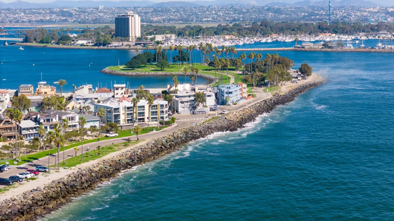
A San Diego drone job near the U.S.-Mexico border now needs a location check before we promise a shot, schedule a crew, or lay out a mapping grid. The reported restriction applies to unauthorized drone flights within one nautical mile of the southern border, from ground level to 400 feet.
The New York Times reported on October 16 that the Trump administration had put the new restriction in place. The detail that matters to a client is practical: being Part 107 licensed does not by itself make a flight authorized in a newly restricted area.
For San Diego-area aerial shoots, inspections, and mapping projects, the exact site boundary now matters even more than it did last week. So does the FAA status on the day of the flight.
A border-area address is not enough
An address may say San Diego, Imperial Beach, Otay Mesa, San Ysidro, or another familiar area. That does not tell us whether the proposed launch point, aircraft route, camera position, or mapping footprint falls within the reported one-nautical-mile band.
We start with a pin on the actual work area. For a house or commercial building, that may be simple. For a construction site, solar field, road corridor, or large parcel, it usually is not. The site boundary can extend much farther than the gate address suggests.
Aerial work has a footprint.
For a video shoot, the aircraft may need room to make a wide orbit, a lateral tracking pass, or a rise-and-reveal from beyond the property line. A roof inspection may require passes along every roof plane, plus safe turns at the edges. Mapping adds another layer: the drone flies a planned grid with overlap between images, and that grid often reaches beyond the parcel being documented.
A pilot cannot solve this issue by flying lower. The reported restriction reaches to 400 feet, which is also the normal Part 107 ceiling above ground level. If a proposed operation sits inside the restricted band, reducing altitude does not change the need to determine what FAA authorization, if any, is available for that specific flight.
What changes for video and photo shoots
The first change is preproduction. A location scout now needs to include an airspace review early enough to change the plan without wasting a client’s shoot day.
For a real estate listing, that can mean deciding whether the aerial portion is workable before the broker schedules twilight photography and opens the property. For a commercial production, it means reviewing the storyboard against the site, not assuming a planned exterior drone move is available because it was approved creatively.
Some of the most common border-area requests are also the ones that need careful route planning:
- A beachfront or neighborhood establishing shot that travels toward the border.
- A low, fast FPV pass through a property near the boundary.
- An orbit that needs a larger radius than the parcel allows.
- A top-down reveal where the safe takeoff and recovery area is separate from the subject.
We would rather redraw a camera move in preproduction than have a full crew waiting while the airspace issue is discovered on location. A ground-based gimbal shot, a tighter aerial composition outside the affected area, or a different establishment shot may be the sensible answer. That is a production decision, not a substitute for authorization.
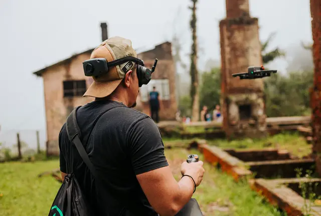
FPV work deserves its own note. A small FPV aircraft can make a shot feel close and contained, but its size does not remove the airspace requirement. The route still has to be planned within the airspace and operating limits that apply. We also need a recovery plan if a route ends near a property line or public area.
Inspections need a defined work area
Roof and solar inspections are often described as a quick flight. The camera work may be quick. The planning should not be casual.
Before an inspection, we need the building footprint, roof edges, access points, and an understanding of where we can launch and land without creating a separate site-safety problem. Near the border, we would also check the current FAA restrictions against the actual building and the proposed flight path.
Thermal work can add constraints. Useful thermal imagery depends on the inspection objective, surface conditions, weather, and flight geometry. It may require repeated passes over sections of the roof or array. If the project area touches a restricted band, we cannot assume that one usable portion of the property makes the full inspection flight workable.
That conversation is worth having before a facility manager arranges roof access or a homeowner expects a same-day report. If the FAA status prevents the planned flight, we can discuss whether a partial visual inspection is appropriate, whether the job should wait, or whether another inspection method is required. The answer depends on the project and on current restrictions.
Mapping grids can cross a line you cannot see
Mapping projects make border-area limits especially easy to misjudge. A drone mapping mission is not a single point above a job site. It is a pattern of parallel flight lines, turns, camera triggers, and image overlap.
If we are producing an orthomosaic or imagery for a 3D model, we calculate the flight area from the requested deliverable and ground conditions. A client may provide a parcel outline, but trees, fences, access limits, slope, and the need for image overlap can change the operational area.
That means we review the entire planned grid, not merely the center of the site. We also account for the launch location and any space needed to turn the aircraft safely. Shrinking the map boundary may be possible in some cases, but it can leave gaps or reduce the quality of the deliverable. It should be an informed client decision.
Where a project states accuracy requirements, we route that work through a licensed land surveyor. Drone imagery can support mapping and documentation, but it does not turn aerial data into a survey by itself.
Check the FAA picture on the flight day
Restrictions and airspace conditions can change. A screenshot saved during a site scout is useful context, not a flight release.
Before every Dronaldo flight, we check current temporary flight restrictions and NOTAMs, which are notices that communicate operational information to pilots. We also review the site’s airspace and determine whether a LAANC request may apply or whether FAA DroneZone is the route for the needed authorization. LAANC can often return an authorization quickly in eligible areas, while other requests may need FAA review.
Neither route should be treated as an automatic approval. A new border restriction may have terms, boundaries, procedures, or limits that differ from ordinary controlled-airspace requests. We verify the current FAA information and plan from that source, rather than reading a news report as an operating instruction.
Clients can help by sending the exact address, site plan, parcel boundary, and desired camera moves as early as possible. For mapping, send the intended coverage boundary and required output. For inspections, include the roof plan or array layout when available. A broad note such as “near San Ysidro” is not enough for a responsible go or no-go decision.
Build time into the schedule
A border-adjacent job may need a different schedule from a comparable project elsewhere in San Diego. There may be time for airspace review, an authorization request where available, a revised shot plan, or a decision to postpone the aerial component.
We also keep weather, site access, crew safety, and normal Part 107 limits in view. The border restriction is one item in the flight plan. It does not replace the rest of the planning work.
If you have a San Diego project close to the border, send the site details before booking the aerial day. We can review the current flight picture and tell you what the planned scope allows.
Comments
No comments yet. Be the first.